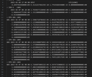
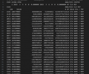
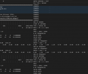
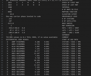
Here you can find detailed information about the Resource Formats available in GSSC Now.
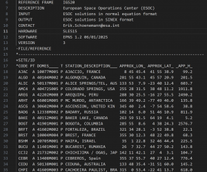
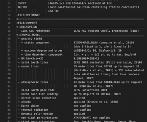
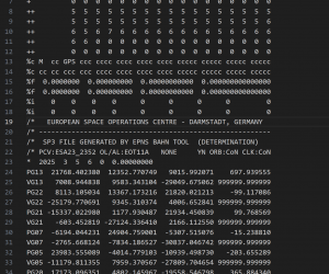
The International GNSS Service (IGS) is a global organization that provides high-precision GNSS data, products, and services to support scientific research and practical applications. As part of its mission, the IGS develops and maintains standards for GNSS data formats to ensure consistency and interoperability across various systems and institutions. These standards, such as RINEX (Receiver Independent Exchange Format), SP3 (Satellite Ephemeris Format), SINEX (Solution Independent Exchange Format), and IONEX (Ionosphere Map Exchange Format), facilitate the exchange, processing, and analysis of GNSS observations. The IGS collaborates with agencies, research institutions, and industry experts to continuously refine these formats, ensuring they meet evolving technological and scientific needs.
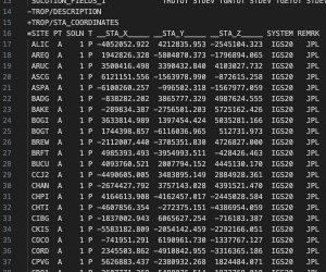
The International Earth Rotation and Reference Systems Service (IERS) maintains and develops standards for GNSS-related file formats, particularly those used in geodetic and precise positioning applications. IERS oversees the SINEX (Solution Independent Exchange Format) standard, which is widely used for the exchange of GNSS-derived station coordinates, velocities, and Earth orientation parameters. Through its collaboration with the International GNSS Service (IGS) and other geodetic organizations, IERS ensures that GNSS file formats remain consistent, interoperable, and aligned with global reference frames such as ITRF (International Terrestrial Reference Frame). Additionally, IERS provides essential data and models that contribute to high-precision GNSS positioning, orbit determination, and geophysical studies.
The International Laser Ranging Service (ILRS) is a global organization that provides high-precision satellite and lunar laser ranging (SLR/LLR) data to support geodesy, Earth sciences, and fundamental physics. ILRS operates a worldwide network of laser ranging stations that track satellites equipped with retroreflectors, enabling precise measurements of satellite orbits, Earth rotation, and reference frames like the International Terrestrial Reference Frame (ITRF). The ILRS contributes to GNSS by improving orbit determination, validating satellite altimetry, and supporting time transfer applications.


