If you wish to contribute or participate in the discussions about articles you are invited to contact the Editor
EGNOS Performances
| EGNOS | |
|---|---|
| Title | EGNOS Performances |
| Author(s) | GMV. |
| Level | Basic |
| Year of Publication | 2011 |
EGNOS Performances
The performances required to EGNOS as per the EGNOS Mission Requirement Document[1] are presented in the following table.
| Service | Service Coverage | Accuracy (95%) | Integrity | Continuity | Availability | ||||
|---|---|---|---|---|---|---|---|---|---|
| Lateral | Vertical | HAL | VAL | TTA | Integrity Risk | ||||
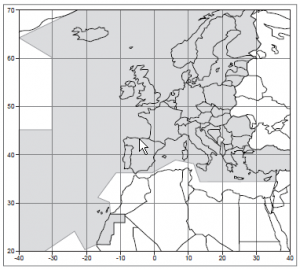
| Open Service | EU25 States (plus Norway and Switzerland) land masses | 3m | 4m | - | - | - | - | - | 99% |
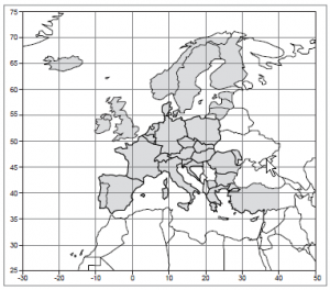
| SoL En-route and NPA | FIRs of ECAC 96 | 220m | - | 556m | - | 10s | 1e-7/hour | 1e-5/hour | 99.9% |
| SoL APV-I | Land Masses of ECAC 96 | 16m | 20m | 40m | 50m | 6s | 2e-7/150s | 8e-6/15s | 99% |
EGNOS performances are being monitored continuously by several entities, such as ESSP and ESA. Early 2011, the performances provided by EGNOS are presented in next figure – for day 7th Feb. 2011, considered to be a representative day. The actual EGNOS messages have been taken from the EGNOS Message Server. Plots are provided by the eclayr tool.
AVAILABILITY
EGNOS availability map is provided in next figure together with the iso-lines of availability compliance to APV-I service level availability requirements (i.e., HPL < 40 m and VPL < 50 m). The period of analysis corresponds to one day with the inner iso-line delimiting the user locations where a service level over 99% availability is achieved.
CONTINUITY
EGNOS continuity map is provided in next figure together with the iso-lines of continuity risk compliance to APV-I service level. The continuity risk is computed as the probability of having a continuity event (Protection Levels > Alarm Limits) during the period [T0, T0 + 15 sec] provided that the service was available at T0 (Protection Levels < Alarm Limits). The inner iso-line – 1e-4 - delimits the user locations which did not have a single continuity event during the analyzed day.
ACCURACY
EGNOS vertical accuracy map is provided in next figure together with the iso-lines of 95% Vertical Position Error – meters -. Users inside the inner iso-line had a vertical accuracy below 2 m (95%) for the analyzed day.
INTEGRITY
EGNOS vertical integrity margins are provided in next figure as maximum Vertical Safety index map (maximum ratio between the vertical user error and the vertical user protection level). All values are under one meaning that no integrity failures at user level were been observed.
Notes
References
- ^ EGNOS Mission Requirements Document, version 2.0, 8th May 2006, Galileo Joint Undertaking


