If you wish to contribute or participate in the discussions about articles you are invited to contact the Editor
File:Airports with wass supported approaches.jpg
Jump to navigation
Jump to search

No higher resolution available.
Airports_with_wass_supported_approaches.jpg (600 × 373 pixels, file size: 74 KB, MIME type: image/jpeg)
Summary
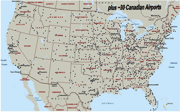
Airports with WAAS Supported Instrument Approaches with Vertical Guidance (as of March 10, 2011). (Source: FAA.)
Licensing
File history
Click on a date/time to view the file as it appeared at that time.
| Date/Time | Thumbnail | Dimensions | User | Comment | |
|---|---|---|---|---|---|
| current | 10:34, 29 July 2011 | | 600 × 373 (74 KB) | Jose.Caro (talk | contribs) | Airports with WAAS Supported Instrument Approaches with Vertical Guidance (as of March 10, 2011). (Source: [http://www.faa.gov/about/office_org/headquarters_offices/ato/service_units/techops/navservices/gnss/approaches/index.cfm FAA.) |
You cannot overwrite this file.
File usage
The following page uses this file: